

Reveal and not Conceal: Looking below the Surface: Snow and the Illusion of Compliance
Do Not Rely on Surface Conditions During Winter Field Reviews
Snow alters visual interpretation. It reduces contrast, conceals disturbance, and masks hydrologic indicators. A site covered in snow cannot be evaluated accurately through surface observation alone.
If you conduct environmental compliance reviews in winter conditions, adjust your methodology.
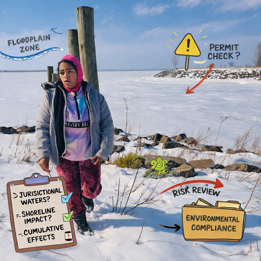
Lake Erie is frozen over! A little technical review at Outer harbor revealed some compliance implications. Find out about the history of Outer Harbor.
Snow can conceal:
• Erosion channels and rills
• Unauthorized fill placement
• Soil compaction from heavy equipment
• Altered drainage patterns
• Root exposure and bank instability
Each of these conditions has regulatory implications under federal, state, or local requirements. Visual inspection alone is insufficient.
Erosion
Snow fills small rills and depressions. It smooths grade transitions. Melt events later expose sediment transport pathways that were present during review but undocumented. Probe slopes. Identify grade breaks. Evaluate potential flow direction based on topography, not visible surface texture.
Unauthorized Fill
Fill material may sit beneath snow cover with no visible color difference. Use a soil probe to assess depth and texture. Compare subsurface material to mapped soil series. Look for abrupt texture changes, construction debris, or non native material. Confirm placement boundaries with GPS and site plans.

The main categories of compliance consist of these factors
Soil Compaction
Frozen surfaces mask rutting and equipment disturbance. Compaction reduces infiltration and increases runoff. Probe resistance. Assess soil structure. Identify equipment access routes and staging areas. Document any areas where infiltration capacity appears altered.
Altered Drainage
Minor grading changes redirect sheet flow. Snow hides shallow berms and subtle contour shifts. Walk the site perimeter. Identify potential flow paths. Confirm drainage direction relative to adjacent wetlands, floodplains, or receiving waters.
Root Exposure and Habitat Impact
Erosion along banks or shorelines may expose root systems. Snow accumulation often obscures these indicators. Clear small sections when necessary. Document root stability, bank slope, and evidence of scour.
Field Protocol Adjustments
When snow is present:
• Increase subsurface probing frequency
• Record probe depth and soil texture in notes
• Document saturation indicators
• Photograph probe locations with scale reference
• Cross reference with mapped wetlands, flood zones, and critical habitat layers
• Avoid statements such as “site appears stable” without physical verification
Observation is physical. Documentation must reflect subsurface conditions, not surface appearance.
Winter reviews require more verification, not less. Reduced visibility increases the need for tactile assessment and structured documentation.
A smooth snow surface does not indicate compliance. Your field record should demonstrate how you verified site conditions beneath it.
I am currently in the process of finishing a compliance template and guide to help you understand this concept.
#EnvironmentalCompliance #FieldInspection #NEPAReview #WetlandAssessment #FloodplainManagement #ErosionControl
“I translate field review into practical compliance tools.”